Kungsleden trail or better known as “The King´s Trail” is one of the best hikes in Europe.
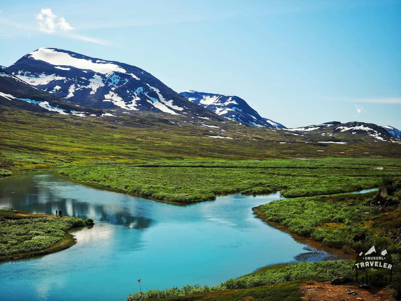
It’s a 440km (270mile) hike through some of the last trough wilderness in Europe, in Northern Sweden.
This hike will take you through three different National Parks, which are the first national parks that got established in Europe back in 1909, so you got some complete wilderness to explore that hasn’t changed in a century.
These parks are, from north to south, Abisko National Park, Stora Sjofallets National Park, and Sarek National Park.
Most people do the trek from North to South, and so did I. Starting at Abisko Tourist station.
If you do decide to visit Abisko outside the hiking, the season so is Abisko a great place to discover the Northern Light.
This was the second time I tried to do the trek this year.
I arrived for the first time in Abisko at the beginning of June but had to give up after a few days because of a crazy amount of snow this year.
So I had postponed my plans and headed back home for not more than five weeks before it was possible to do the whole trek.
So on the 19th of July, did I take the train back to Abisko to continue my mission to do this hike.
If you want to do another short hike when in Sweden, then Tyresta is a good option.
The trek can be done in different stages, where you can walk off the Kungsleden trail to join other paths for another trek, make a side trip to Kebnekaise, the highest mountain in Sweden. After you have reached the summit, you can choose to continue on the hike or stop here and walk off to a bus stop and head home.
BTW. You will see in some photos that I used a cheap REI tent on this trip; the reason is, it was a Rodent year in the mountains in Sweden this year. There were lemmings everywhere, and I met quite a few hikers that got their expensive Hilleberg, Mountain Hardware and The North Face tents bitten by lemmings.
The starting point of the Kungsleden trail trek.
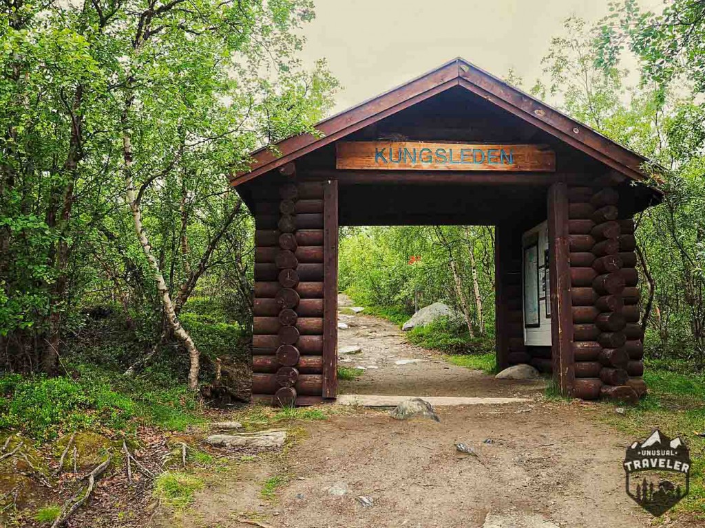
Day 1. Abisko – Abiskojaure. 14km. 3.5hours. 380 – 490Meters above sea level
The first day of the trek is the most relaxed day on the whole hike. It starts no more than 300m from the train station/tourist station and is very easy with only a few small hills.
There is a lovely campsite set up after about 6km with outdoor toilets and wind shelter and a river passing by, so if you want to have a straightforward start on the hike, then this is the perfect place to take it easy.
Not too much to write about the first day on the hike; most of the time, you walk in the light forest before reaching the Abiskojaure lake, and the forest opens up a bit. The only hazard on the hike the first day was some flooded and some pretty muddy parts. Except for that, this day is a walk in the park.
After about 14km, you reach the STF Hut (Swedish Tourist Organization), the hut is on the other side of a suspensions bride and offers: sauna, campfire, and kitchen, but it’s not free! Camping is 100SEK, and staying inside the hut is 400SEK.
You have to camp outside the Huts area if you want to camp for free; you can still use their toilets and get rid of your garbage if you decide not to pay.
Day 2. Abiskojaure – Alesjaure 20km 6-8hours. 490 – 780 Meters above sea level
This is probably the hardest day on the whole trek, it’s not only one of the longest days, but they’re a lot of deep muddy sections, flooded rivers and slippery stones on the way.
I also had nasty weather this day, with heavy wind and rain during the whole day.
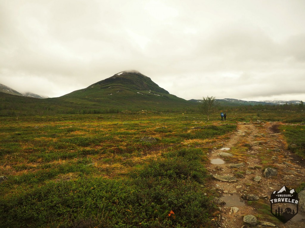
While the two first km is very easy and mostly flat, the next 3/4km not that much.
The hills are not too steep, but since there are no trees around, you will be very exposed to the wind, and for a while, you are just going to walk on the stones.
Luckily they have built a small wind shelter hut (with an outdoor toilet) at about 15km.
This is also one of the first places where it is possible to pitch a tent, and I decided to do so because of the awful weather I had that day.
Day 3 Camping (Alesjaure) – Camping (Tjatka) 15.8km 6 hours 780 – 1000 Meters above sea level
While day two was awful with rain and heavy wind, day 3 was beautiful, sunny and no wind at all, the perfect day for hiking.
The most significant hazard on day two is that you have to cross a few flooded rivers with knee-deep water where the bridges had been washed away, plus some bottomless and annoying mud.
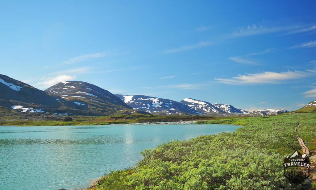
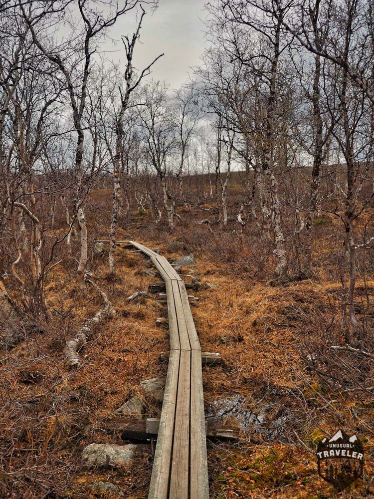
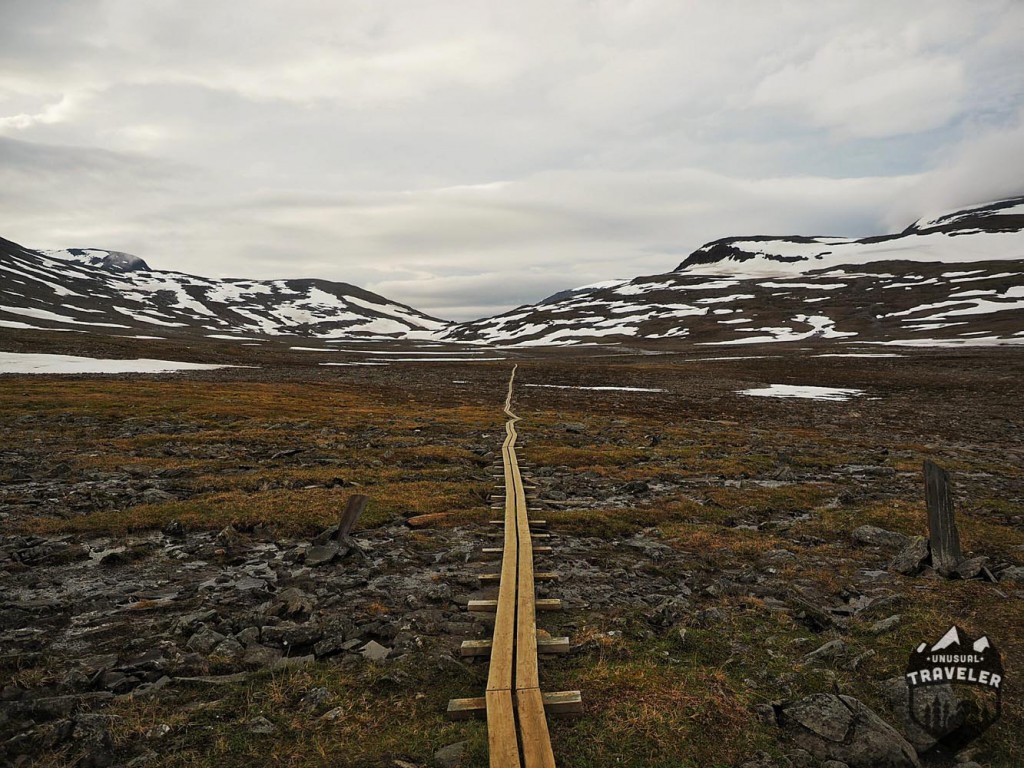
As you can see on the right side of the picture, some wooden planks were placed to walk over the wettest parts; unfortunate, the maintenance of these “roads” get worse after the two first days of hiking. In some sections, you will find that the walkway has fallen apart, so you will get wet, very wet.
Most people stop at Alesjaure Hut on day two and continue towards Tjatka on day 3, but since I decided to stop 5km earlier on day two, I had to catch up on the lost time on day three and walk the extra distance to Tjatka.
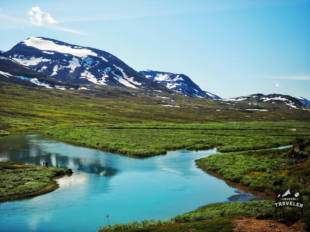
The hike from Alesjaure to Tjatka is pretty straightforward, with two knee-deep river crossings, by far the most significant hazard on day 3 is the endless amount of mosquitoes. I have never encountered this amount of mosquitoes anywhere else around the world.
I got 68 bites on my right leg in less than 10 minutes of resting!!!
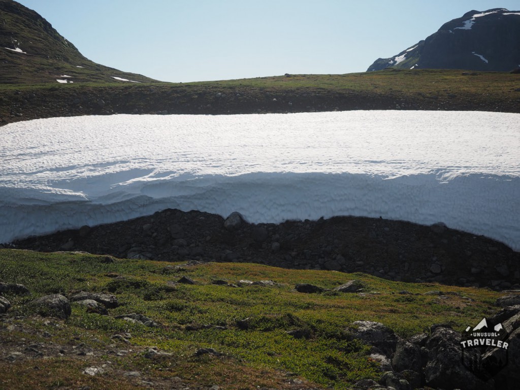
It´s not much to say about day 3; it’s a straightforward day, You can’t go wrong. I decided to camp about 1KM before Tjatka Hut,
Tjatka Hut is the highest elevated hut on the hike, and it lays just before the highest point on the whole trek, the Tjatka pass.
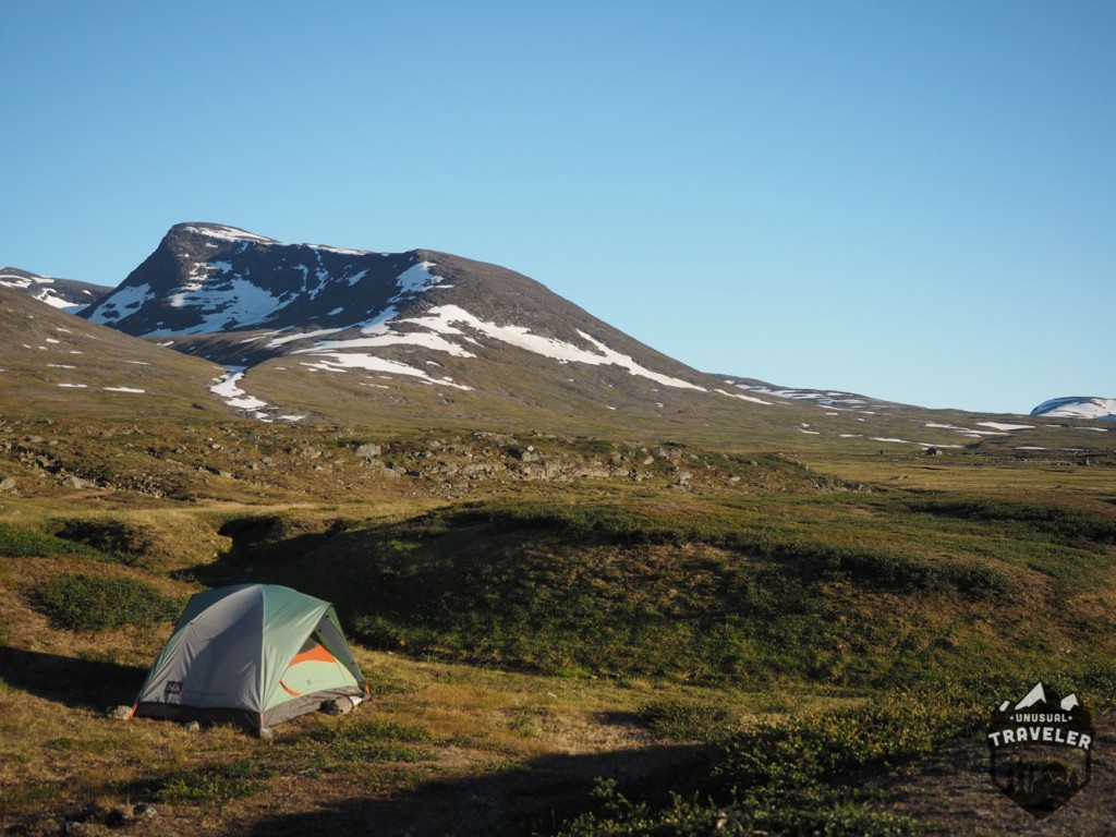
The place might look beautiful and relaxing, but there were a BILLION mosquitoes here; it was impossible to sit down and relax outside the tent. Even with long hiking trousers, a jacket, and mosquito spray, it was just unbearable.
There were so many mosquitoes outside the tent, so it sounded like rain hitting the tent roof.
Day 4 Camping (Tjatka) – Sälka – camping 27KM 10 hours 1000 – 820 Meters above sea level
The climb up to Tjatka pass (1150m) starts only a few hounded meters after my camp spot and continue for about 6km before you reach the top of the pass. The climb up to the pass is straightforward and not steep at all.
You can find a small wind shelter on the top of the pass, an excellent place to stop for some quick snacks or lunch before you start descending from the pass.
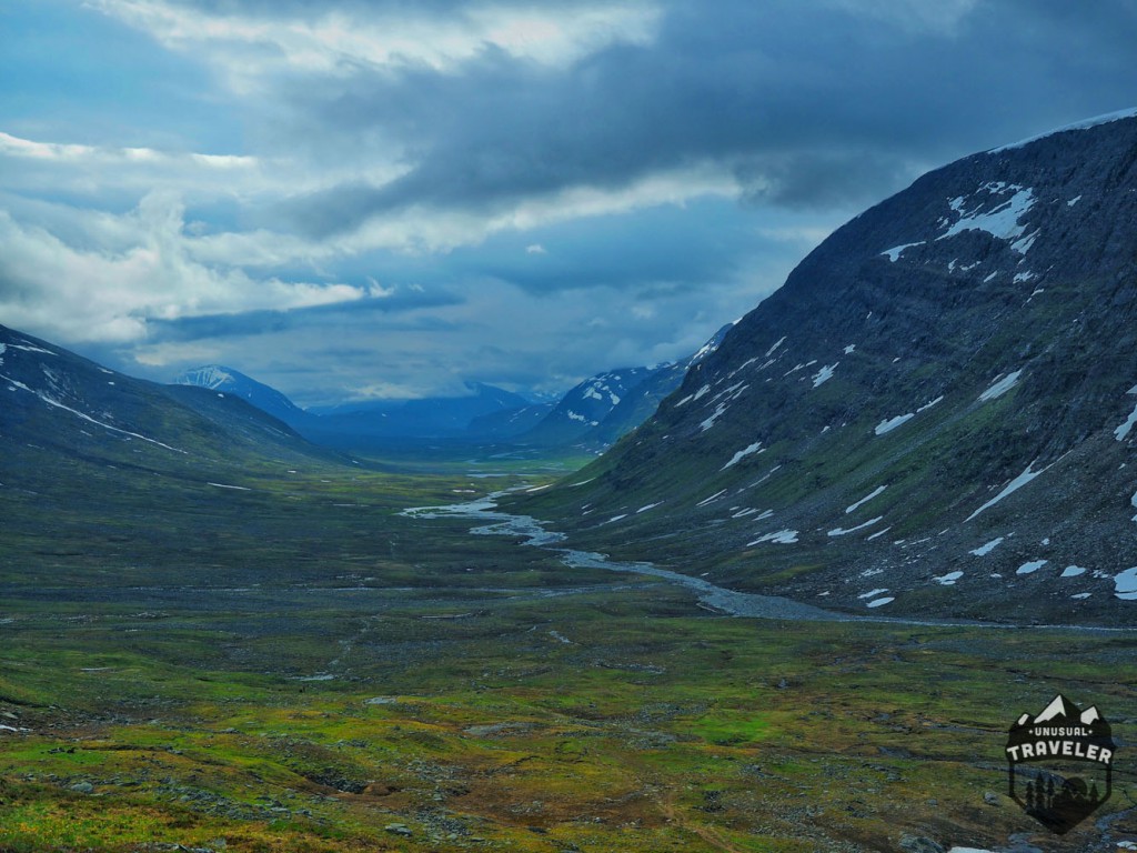
The path follows the river all the way to the Salka hut; the track is extremely rocky. For some parts, you will walk on rocks for more than 3-4 km straight, and the other parts are very wet since the wooden walkway is eight at many places.
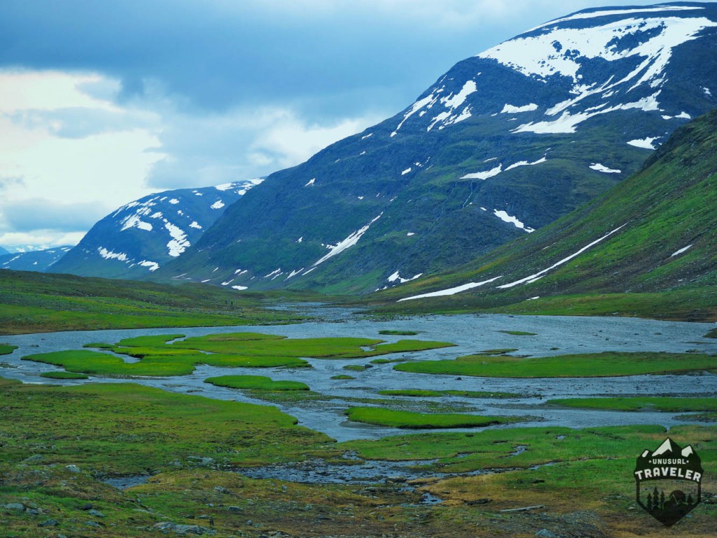
Except for the rocky and wet parts, this day straight forward and easy; you can decide to stop at Sälka hut if you don’t feel like walking too far. Since I felt pretty good, I decided to continue my hike towards Single Hut, but unfortunate, l encountered some severe weather. I had to stop for the night in the wind shelter, so did eight other hikers.
Day 5 Camping – Singi Hut 3.5hours 8Km
Since I decided to seek shelter for the wind in the shelter hut the previous day, I only had a small hike this day.
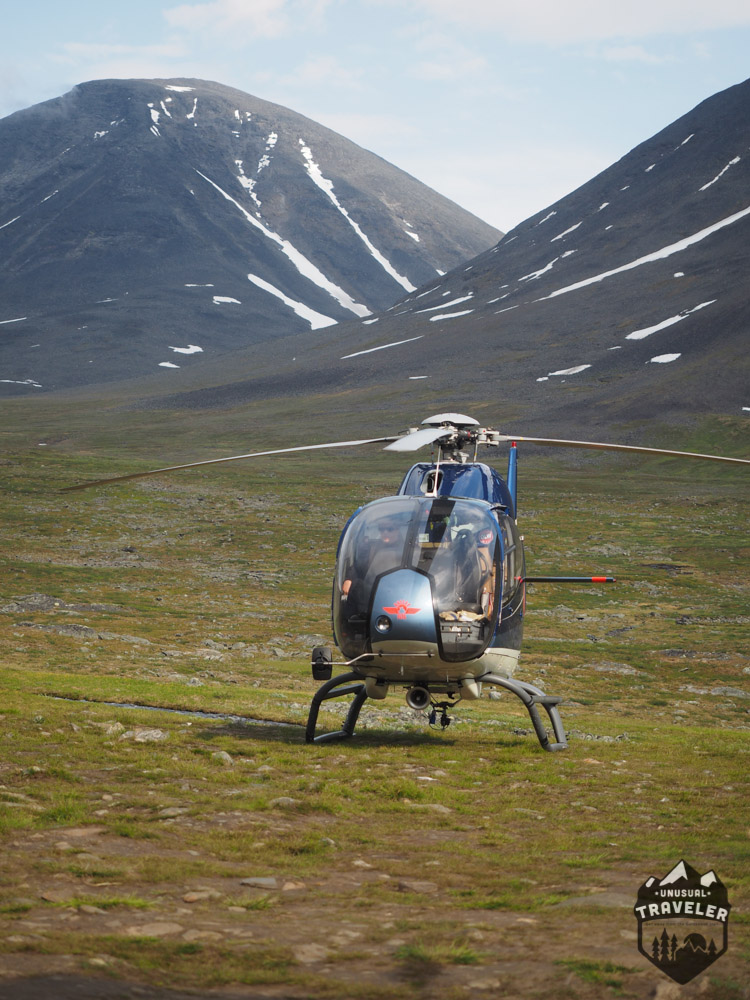
One of the most annoying things on the Kungsleden Trail, except for the mosquito is all the helicopters that are flying in and out of the trail all the time. Quite a few lazy hikers are using helicopter shuttle express to do small parts of the hike, from hut to hut or land and stay in a cabin for the night.
I did find it really annoying when a helicopter is flying right above you or when you are having a rest, and you have to move because the helicopter is coming in for a landing.
Day 6 Singi Hut – Kaitumjaure – Teusajaure 22km 7 hours
Singi is the hut where you can decide to turn East and head towards Kebnekaise and climb the highest mountains in Sweden or head South and continue the Kungsleden hike.
I decided to head South after talking with some fellow hikers about the snow condition on Kebnekaise.
Usually, people do the hike from Singi to Teusajaure in two days, but my legs felt great when I reached Kaitumjaure, so I decided to continue to the next hut.
The hike from Singi to Kaitumjaure is 13 km and takes about 4 hours; it is pretty straightforward with only a few very short climbs. You start off with hiking through a barren landscape the first 11 km, and the two last km is through a small forest. There is not much more to say about the hike between Singi and Kaitumjaure.
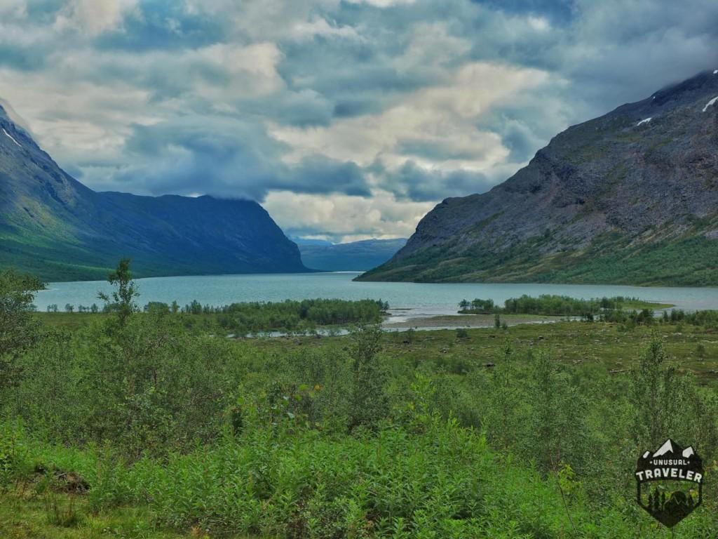
The Kaitumjaure hut is. The first place to stay for a day, you can go for a swim (quick shower) down at the lake, where you can also find very nice campsites.
Kaitumjaure is one of the best spots to see wild Moose on the hike, and I was lucky to see two while having a lunch break. Unfortunately, they disappeared before I could get my camera out.
The hike from Kaitumjaure to Teusajaure is not the easiest, starts off smooth and flat for the first half an hour before you cross the suspension bridge, but after the bridge, it gets rocky for the next 30 min, then you get about 1-hour climb to the top of the “plateau” you also have a few streams/rivers to cross, and most of the wooden walkway was also broken.
The plateau takes another hour to cross before you reach a ridiculous and dangerous steep descent down to Teusajaure hut. You have to be careful here; there were two hikers staying at Teusajaure that had injured their knee during the descent.
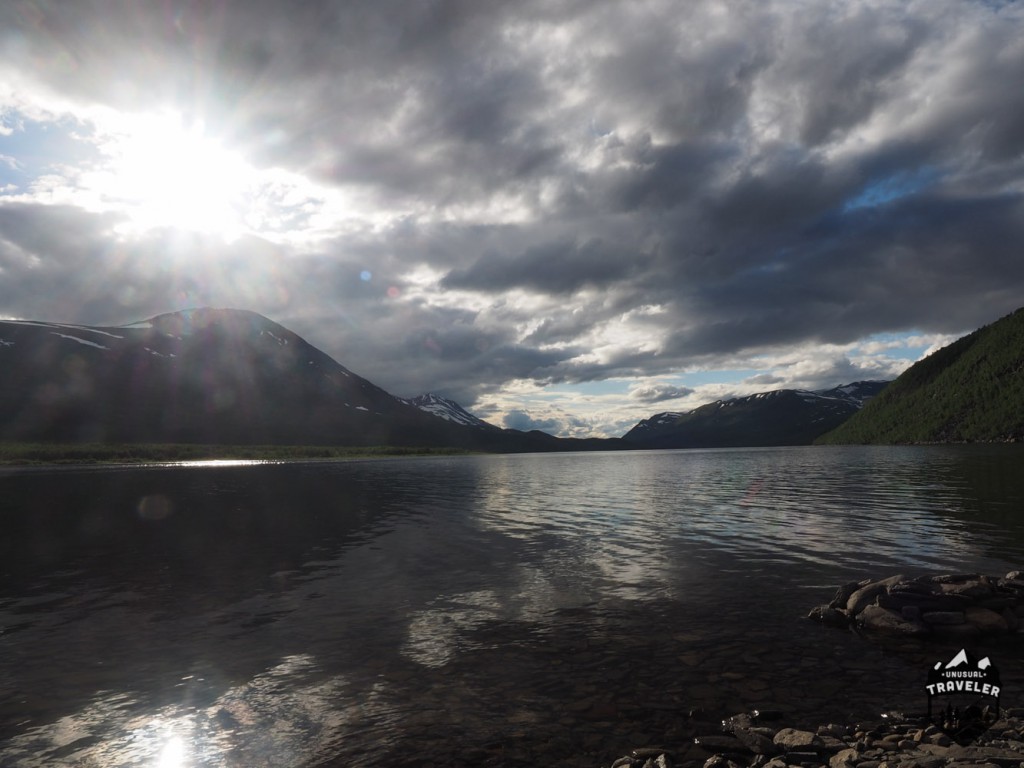
Teusajaure is located on one side of a long like; the only way to cross the lake is with a boat. You have two options. First, you can row a small boat across or pay the guy working at the hut 100 SEK to drive you across. Since it was very windy, I chose to pay the boatman to get me across.
There is a small wind shelter that you can stay in, about 300 meters from the shore on the other side.
Day 7 Teusajaure – Vakkotavare 15KM 5/6hours.
This is the last day on the Northern Part of the Kungsleden hike before being back in “Civilization.”
Something strange has happened with my memory card, so I lost all the photos from this part of the hike.
This part has both a steep climb and a very steep and long descent down to the highway where you can take the bus to the next hut and continue the hike, but the worst thing this day will be all the water. You will get your feet wet even with good hiking boots.
The path starts to climb only 10 meters after you crossed the lake and continues for more than one hour more before you reach a plateau. After about 2 km, you will pass a small wooden sign saying “BRO”, which means bridge. Follow the sign!! A lot of people didn’t understand or see the sign, and they had a pretty tough river crossing.
The plateau is very wet, with a significant part of the path being flooded, and you even have a few more rivers to cross where the bridge has disappeared.
Look out for semi-wild Reindeer while you are walking around on the top of the plateau they are running wildly about.
When you finally reach the trees, you only got about 2 km left, and all of that is downhill, pretty steep downhill before you reach the Vakkotavare hut.
Vakkotavare hut is located right next to the highway, so no more wilderness feeling on this part of the hike.
If you manage to arrive early at the hut, you’ll be lucky to catch one of the two buses to Saltoluokta fjällstation, the first one leaves around 10.30nam and the second one at 12.30 am. If you miss those two, the only option is to spend the night in a Vakkotavare hut and take the bus the next day instead.
Additional info about Kungsleden
There´s No Permit or Registration needed to do the Kungsleden hike.
Getting to the Kungsleden trail
From Norway:
There are two trains a day from Norway a day.
Narvik – Abisko 10.53 and 12.40. The train takes one and a half hours and costs 66 KR if booked in advance.
From Stockholm:
There is one direct train from Stockholm to Abisko, and one with an interchange, more in the summer season.
The closest airport is in Kiruna. Only domestic Swedish flights.
Food on Kungsleden trail
The starting point at Abisko Mountain station has a small store with the most useful supplies; there´s also a Coop Supermarket 15minutes walk from Abisko Mountain station.
Also, so are the small stores in basically every other cabin along the trail. On the northern part, these following cabins have small stores: Abiskojaure, Alesjaure, Sälka, Kaitumjaure, and Vakkotavare.
The stores in the cabins all have a reasonable selection of dried food, canned food, pasta, rice, soups, chips, chocolate, candy, soft drinks, beer cans and more.
You can pay with either cash or credit card in most of the cabins.
The prices are higher in the cabins than in Abisko and in the supermarkets.
I managed to do this part of the hike without buying any supplies during the trek.
Where to sleep on Kungsleden trail
All cabins have rooms/dorms where hikers can sleep; the price is about 40Euro a night.
But then you can also use the guest kitchen and Sauna.
All cabin has camping spots for your tent, 120KR if you are a member of the Swedish Tourism Association, 150kr for no members. You are also allowed to use the guest kitchen and sauna if camping there.
You are allowed to wild camp “everywhere” for free.
Like it? Share it! Pin It!


Amy
Friday 15th of November 2019
Such a great blog with amazing tips. Thank you very much. If you have never been in Albania, I would recommend you visit the country. A gem in Europe.
Justine L.
Wednesday 14th of March 2018
Hi!
Do you still recommend the trail considering there was a lot of mosquitoes ? I will be going there around mid-june and plaining the hike the whole trail.
Thank you!
Christian L.
Wednesday 14th of March 2018
Heeey. Kungsleden is a beautiful hike and it´s worth doing despite the mosquitos. Just be sure to bring mosquito repellent. I recently hiked the Arctic Circle Trail in Greenland too, and the mosquito problem in Greenland is miles worse than Kungsleden.
Christian
beautiful places india
Thursday 1st of December 2016
Amazing pics mate. It looks surreal :)
oltravelbook
Sunday 4th of September 2016
awesome piece of writing..enjoyed reading it
Nika
Wednesday 10th of August 2016
Hey Cristian:) Thanks for the great itineraryy ! My boyfriend and I are doing Kungsleden at the end of the August,I have no exp whatsoever with tracking and backpacking, since you've done this one already what's your opinion, will it be difficult for me?
Christian L.
Wednesday 10th of August 2016
Hello Nika.
I would say that the Kungsleden trail is a very easy, beginners trek, the trail is very well marked and maintained so there´s no need for a map on this hike. There´s also emergency wind shelters on the most windy places on the hike where you can have a rest. So there´s nothing to worry about.